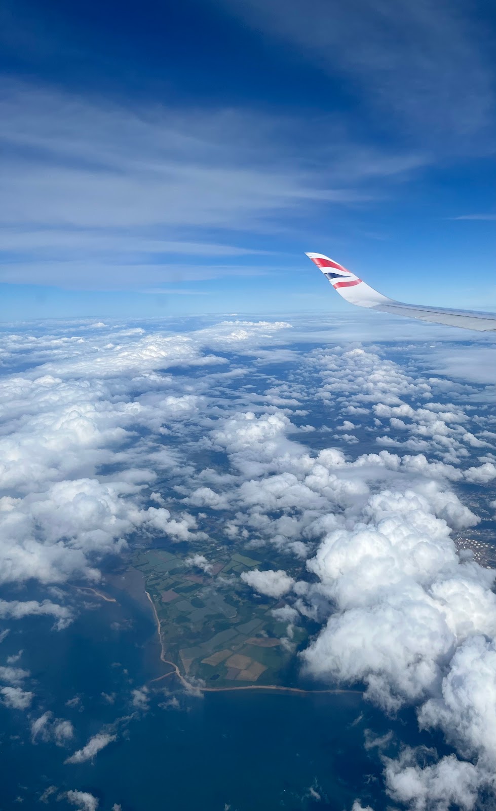
This photo overlooks a shore near Southampton out of the window of an Airbus A350 en route to London Heathrow. If you look closely, you see signatures of industrialization. In this case, there is a plot of land with what seems to vaguely have the appearance of a power plant. The rest (at least when captured at a very high altitude) is mostly farmland.
I’ve gathered all the information I can about the location of this picture, as the photo’s metadata never included location details. I can safely say it is around the area of Southampton, but a close second is around the Plymouth area.